Pantera
The wildfire management platform I lead at 1.5°C, from risk analysis and smoke detection to response and impact assessment.
190 cameras · 40M+ hectares · 98% of fires caught by AI first
Smoke, boxed
by the model
One of the 190 cameras: a faint plume on the horizon, flagged by the detection model at 30% confidence. The camera zooms in and the same detection climbs to 98%.
A detection is a candidate for validation, not yet an alert.
Where the next
fire is likely
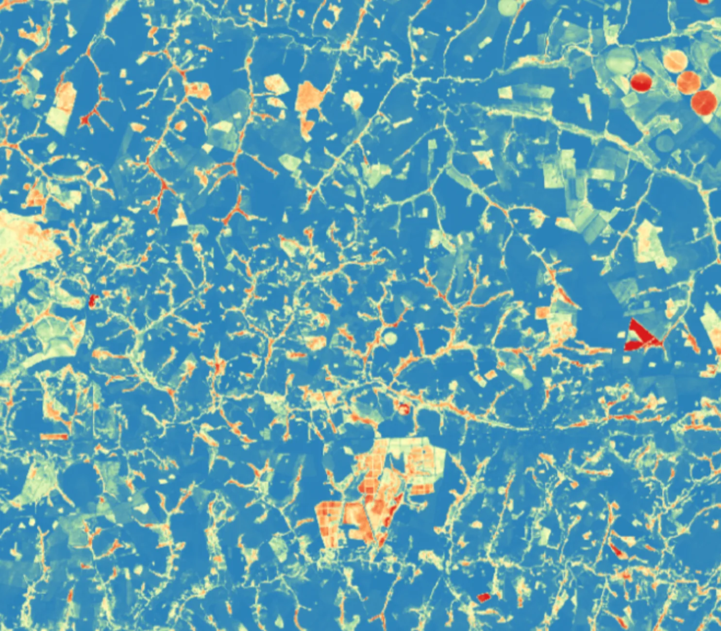
Weather, fuel, and terrain layered together to flag where a fire is likely to start or spread next.
I climbed
the towers
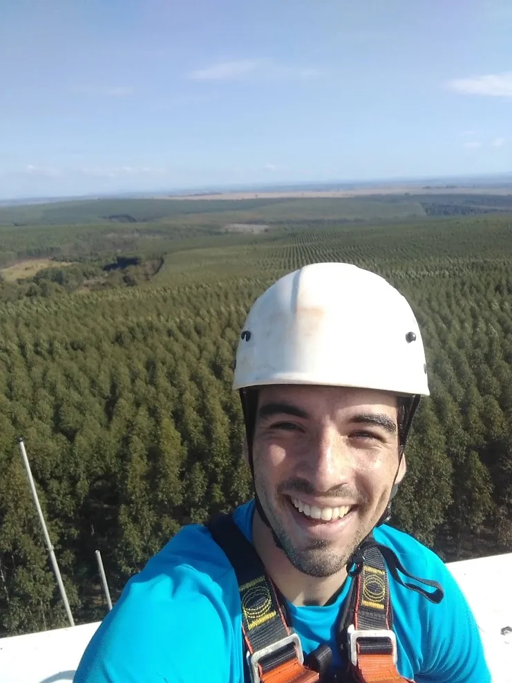
Our largest client, won in a competitive bid, had been promised an analytics module we hadn't built yet. I built it, then went up the camera towers with our COO to deploy the network, learning networking on site, because it had to run.
When in doubt, alert
Better a false alarm than a missed fire. Missing real smoke can delay the response to a wildfire, so we prioritize recall in the smoke detection model, letting as little real smoke slip through as possible, and accept the trade-off: at around 80% precision, about one in five detections is a false alarm. Camera re-checks and our 24/7 review team stand between a detection and a confirmed alert.
Team of 8
Engineering, geospatial, and data science — running on Agile and OKRs. I've owned the architecture end to end as co-founder and CTO since 2020.
Get in touch
If you're building something in climate, govtech, wildfire, or geospatial monitoring, write to me.